
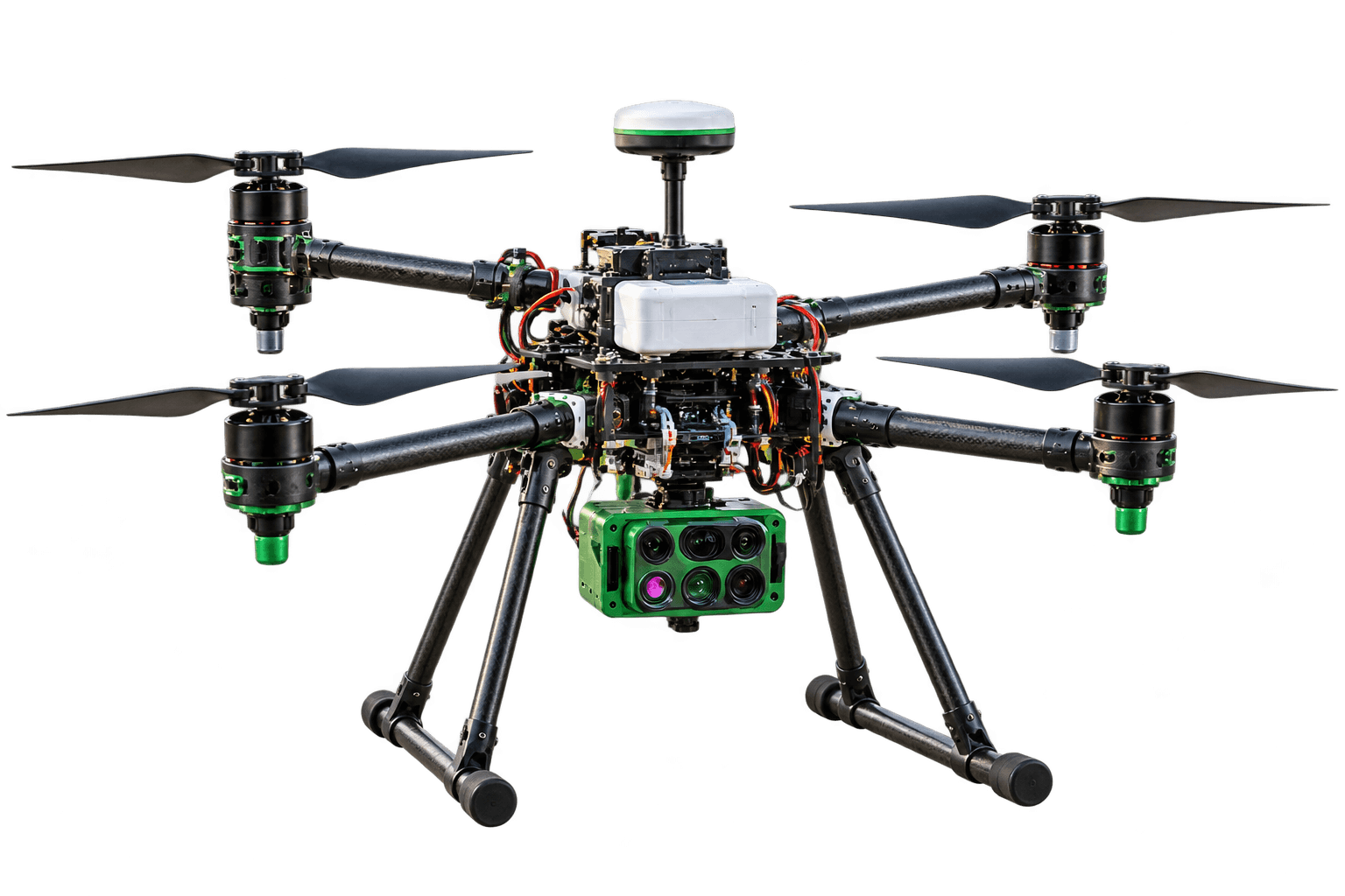
AGRO-SCAN
See the Unseen. Understand the Field. Grow a Better Tomorrow.
A professional multispectral UAV platform engineered from first principles for precision agronomy, agricultural research, and large-scale crop stewardship.
AGRO-SCAN is designed for accurate land mapping, crop health monitoring, and geospatial data collection. Built for professionals who demand precision, efficiency, and reliability.
Price may vary based on configuration, payload and supported accessories.
Product Overview
A professional multispectral UAV platform engineered from first principles for precision agronomy, agricultural research, and large-scale crop stewardship.
Precision Mapping
Centimeter RTK
Agriculture Focused
5-Band NDVI/NDRE
Reliable & Rugged
IP54 sealed frame
Key Specifications
Calibrated Mission Performance
Aerodynamically sealed and stress-tested for extreme field duty cycles across agricultural and surveying corridors.
MULTISPECTRAL INTELLIGENCE
See beyond visible RGB imagery. AGRO-SCAN captures narrow-band electromagnetic signatures across Blue, Green, Red, RedEdge, and Near-Infrared wavelengths to expose cellular stress before human eyes can detect it.
- ✓Integrated Sunshine Sensor normalizes varying solar irradiance for true seasonal comparisons
- ✓Calculates calibrated NDVI, NDRE, and Chlorophyll Index heatmaps in real time
- ✓Identifies nutrient deficiencies, moisture deficits, and disease outbreaks up to 14 days earlier
MODULAR BY DESIGN
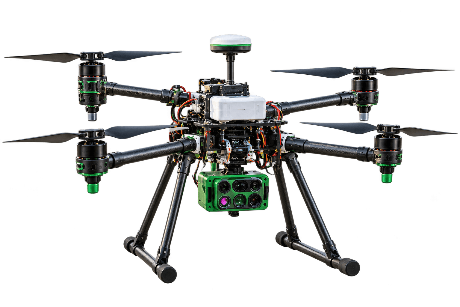
Agricultural requirements evolve across growth stages. AGRO-SCAN features an aerospace quick-release mechanism and standardized CAN/USB-C bus, allowing field operators to swap sensors in under two minutes without tools.
- ✓Accepts RGB high-resolution, 5-band multispectral, and LWIR radiometric thermal sensors
- ✓Quick-locking folding carbon arms reduce transport footprint for standard pickup vehicles
- ✓High-modulus carbon-fiber frame engineered to withstand corrosive agricultural chemical drift
PRECISION FROM THE SKY
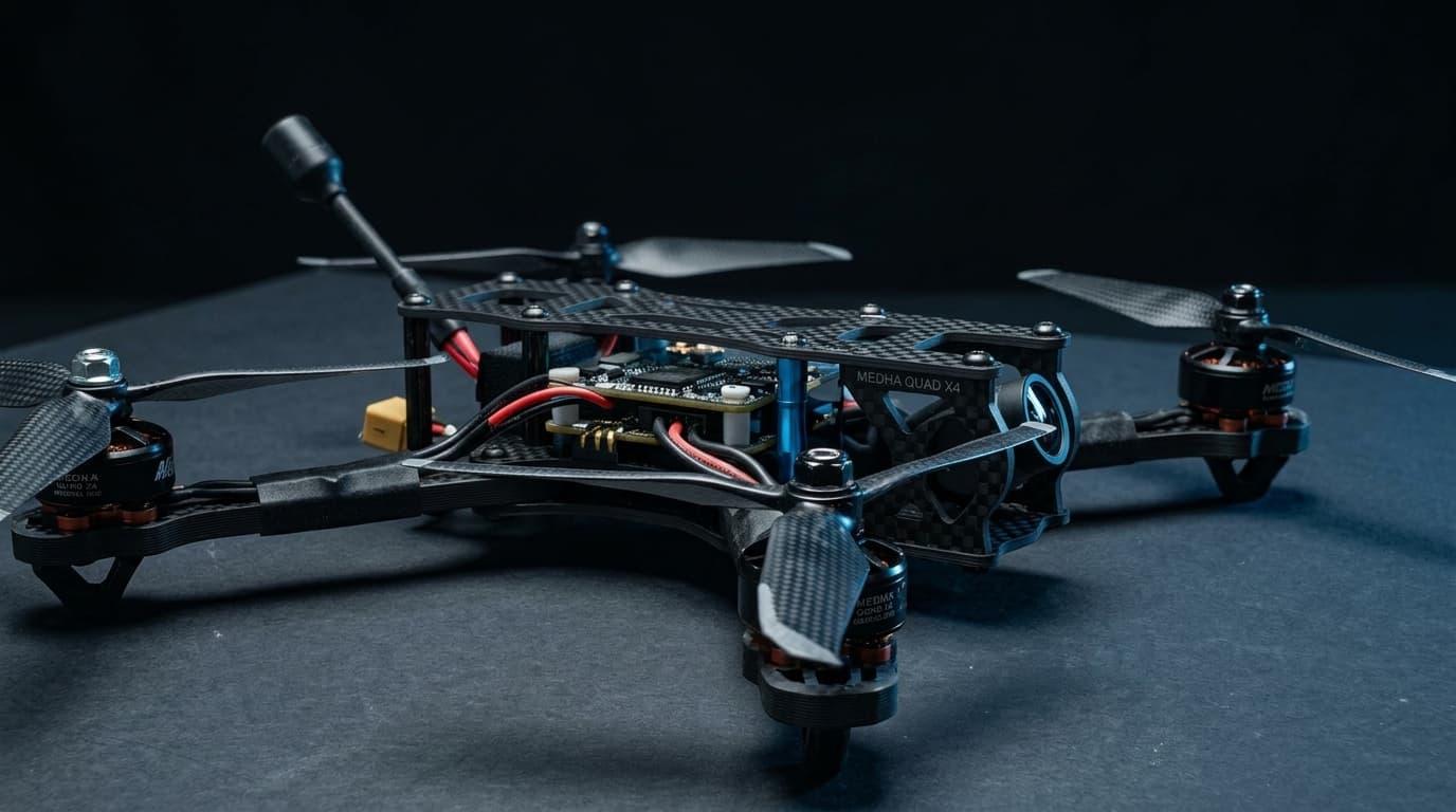
Precision farming requires repeatable flight tracks down to individual crop rows. AGRO-SCAN integrates a multi-constellation RTK GNSS receiver to achieve sub-centimeter geo-tagging without requiring physical ground control points.
- ✓Multi-band GPS, GLONASS, Galileo, BeiDou, and NavIC centimeter-grade RTK positioning
- ✓Dynamic terrain-following radar maintains precise height above undulating crop canopies
- ✓Autonomous boundary flight planning with intelligent fail-safe return-to-home protocols
Deploy AGRO-SCAN Into Your Operations
Connect with our aerospace specialists to explore institutional pricing, multi-sensor payload configurations, and automated flight workflows.